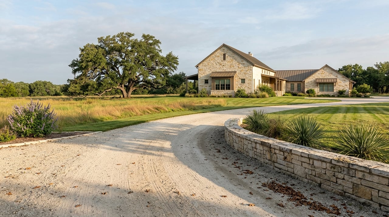
The 909-Foot Line: What "Waterfront" Actually Buys You at Canyon Lake
August 27, 2026
August 27, 2026
In May 2026, Canyon Lake sat at roughly 59 percent of capacity, with a mean water level near 886.78 feet. By August 22, 2026, the reservoir was back to 100 percent full, hovering right at its 909-foot conservation pool elevation. That is close to a 23-foot vertical swing in about fifteen weeks, driven by heavy Hill Country rain in July that pushed the lake temporarily above conservation pool and into flood-control territory, prompting the Guadalupe-Blanco River Authority to begin a staged release schedule with the Army Corps of Engineers in early August to bring the reservoir back down.
For a buyer who toured a "waterfront" lot in May and is closing on one in August, that swing means the view from the back porch has changed dramatically in a single season. But the swing itself is not the most important fact for a Canyon Lake buyer to understand. The more important fact is who owns the ground between those two water lines, because it is often not the person whose name will be on the deed.
Canyon Reservoir has a split ownership structure that most listing photos never mention. GBRA holds the rights to water stored at or below 909 feet mean sea level, the conservation pool, and can deliver that stored water to customers under its state permits. Everything from 909 feet up to 943 feet, the flood-control pool, belongs to the federal government and is managed by the U.S. Army Corps of Engineers. That upper band is designed to stay mostly empty so it can absorb runoff during heavy rain, which is exactly what happened this July.
The Corps is not subtle about what that ownership means for a private landowner whose fence line happens to reach into that federal band. Its own Canyon Lake FAQ states plainly, "You can NEVER construct on federal property," and lists what that rules out: "No gazebos, steps, ramps, roads, docks, porches, etc." It does not matter whether the water is lapping at that spot the day you tour the house. If the land sits in the 909-to-943-foot band, it is not yours to build on, regardless of what the seller's photos suggest.
This plays out differently depending on where around the lake you are shopping. On the lake's northern arms, in areas like Mystic Shores and The Peninsula at Mystic Shores, the coves tend to be steep-walled, so the drop from a private lot line down to deep water is often short. A lot there can lose several vertical feet of lake level and still have a usable, legally private shoreline close to the house.
On flatter stretches of the lake, including parts of Canyon Lake Acres and some southern coves near Kings Cove, that same drop in elevation exposes a much wider strip of lakebed, and a larger share of what looks like "your view" is actually the federal flood-control buffer rather than private ground. One recent Canyon Lake Acres listing was marketed around exactly this quirk, describing a large wooded lot that backs directly onto Army Corps of Engineers land, with trails running from the property to the shoreline, and calling that arrangement "technically waterfront access without rear neighbors." That phrasing is accurate and worth sitting with. It is waterfront in the sense that the lake is visible and walkable. It is not waterfront in the sense that would let a new owner put in a dock, because the ground between the house and the water isn't part of the parcel.
Gated communities built around private amenities rather than the main lake, such as Ensenada Shores, sidestep this question by offering a private fishing pond with its own dock instead of direct Corps-adjacent shoreline. That is a different product entirely from a lot that touches the reservoir itself, and it is worth being explicit with yourself about which one you are actually shopping for.
The timing this month adds another layer. Following the July 2026 Hill Country flooding, GBRA and the Corps have been managing a staged release from Canyon Reservoir since early August to bring the lake back down from the flood pool to its normal 909-foot conservation level. Release rates are being adjusted as conditions warrant, and the reservoir's return to conservation pool is what restores its capacity to handle the next storm.
That matters for anyone touring lots right now. Some of the ground that currently looks like private beach, because it is submerged or freshly exposed and mud-free, is the same federal flood-pool land that will look different again once releases finish and the reservoir settles. What a buyer sees in the last week of August 2026 reflects a still-draining reservoir, not a stable baseline. The schedule for when that land looks a certain way belongs to GBRA and the Corps, not to the seller.
A few steps separate a buyer who understands what they are purchasing from one who finds out at closing, or after:
The question worth asking about any Canyon Lake listing is not "is this waterfront." Almost every listing near the lake will answer yes to that. The question is at what elevation the private property line actually ends, and whether that elevation sits above or below the 909-foot conservation pool. That single number determines whether the postcard view in front of you is something you own or something you are simply borrowing until the Corps decides otherwise.
Canyon Lake is one of the hill-country markets where second-home buyers and lifestyle investors expect exactly this kind of specificity before they commit. If you are comparing lots around Startzville, Sattler, Spring Branch, or the coves near Mystic Shores and want someone to walk the elevation and permit questions with you before you write an offer, The Ross Group works this market regularly and can help you separate a genuine waterfront right from a well-marketed view.
Does a "waterfront" listing guarantee I can build a dock? No. A lot can touch the reservoir and still have no legal right to a dock if the shoreline in front of it sits within the federal flood-control pool between 909 and 943 feet. The right to apply for a permit generally depends on where the private property line falls relative to that elevation, not on how close the water looks on a given day.
Will a lower lake level hurt resale value? It depends on the lot. A property whose usable shoreline sits well below 909 feet keeps functional water access through most of the reservoir's normal range. A property that only feels like waterfront when the lake is at or above conservation pool will look and show differently depending on the season, and buyers touring during a low-water stretch will notice.
What happens to a permitted dock if the lake drops again? The permit itself does not disappear with the water level. What changes is practical access, since a dock built for a full reservoir can sit over exposed, uneven ground during a drawdown, which is a usability problem more than a legal one.
Stay up to date on the latest real estate trends.

Etiam non quam lacus suspendisse faucibus interdum. Orci ac auctor augue mauris augue neque. Bibendum at varius vel pharetra. Viverra orci sagittis eu volutpat.